
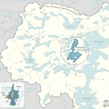
Upper Saranac Foundation Grant Application and Report Maps
Essex Quarry Nature Preserve Signage
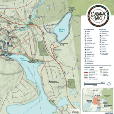
Wayfinding Maps for Saranac Lake
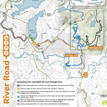
Trailhead Kiosks on Jackrabbit Ski Trail
Boquet River Interpretive Signage
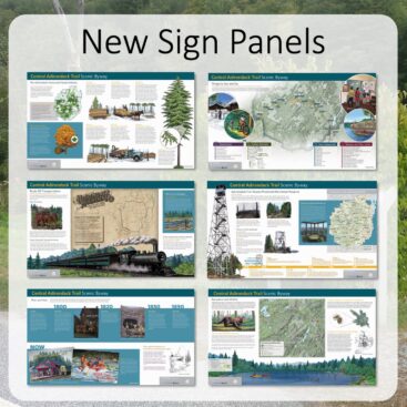
Central Adirondack Trail Scenic Byway Displays
Boquet River Interpretive Signage
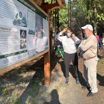
We partnered with The Nature Conservancy Adirondacks to create an interpretive sign for their trail kiosk at the Boquet River Nature Preserve, a 120-acre property on the lower Boquet River near the town of Willsboro. Featuring a River Trail footpath and over half a mile of shoreline on the most intact major tributary that empties into Lake Champlain, the messaging...

Central Adirondack Trail Scenic Byway Displays
We contracted with the Adirondack North Country Association (ANCA) for the NYS Department of Transportation to improve signage along the Central Adirondack Trail Scenic Byway. Traveling U.S. Highway 9, State Route 28, and State Route 8, the scenic byway traces a 153-mile-long trail through the heart of the Adirondack Park from Glens Falls to Rome, New York. To...
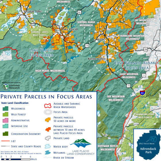
Engaging Residents in Land Conservation
We worked with the Lake Placid Land Conservancy to implement their new strategic plan