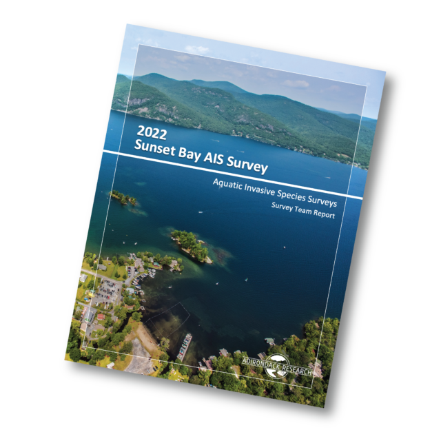
We performed an aquatic invasive species (AIS) and native aquatic plant species survey for Sunset Bay on Lake George. This survey was completed in preparation for Lake George Park Commission applying to the Adirondack Park Agency for a permit to use the herbicide ProcellaCOR EC.
This survey was completed in accordance with all of the required parameters of the linked application requirements: https://www.dropbox.com/s/kn7c043b53k7wns/SIR-AquaticHerbicides.pdf?dl=0
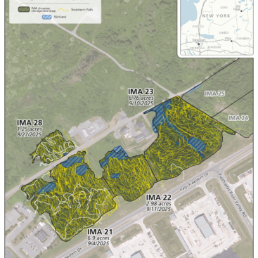
Lake George Park Commission is planning to apply for a permit to use ProcellaCOR EC in 2023 to manage Eurasian watermilfoil. We performed the surveys, and created maps and data tables of the survey results per the requirements of the permit.
Adirondack Research was able to complete the following tasks as part of this project:
- Survey the single 10-acre site described as a single treatment area over a single day with one crew member and the assistant of a LGPC staff member. LGPC provided a boat and driver.
- Surveyed and identified all native plant species at point intercept survey stations within a survey design to meet Adirondack Park Agency requirements for applying for the use of the herbicide ProcellaCOR EC.
- Drafted maps showing survey locations in GIS with associated data tables of plant presence and absence/density at each rake toss location.
- Produced this abbreviated report of the described survey effort
NOTE: This project did not include a full report, specifically it did not include a report that meets all of the requirements as required by the Adirondack Park Agency for ProcellaCOR EC permit application.
While out on the waterbody, we surveyed plants at survey stations, or sites, that were predetermined prior to performing the on-the-water survey. These survey stations were selected based on criteria outlined by the Adirondack Park Agency as requirements for applying for a permit application to perform management using the herbicide ProcellaCOR EC. Specifically, we established a sampling design based on the following APA requirements:
- Perform survey at height of growing season
- Establish point intercept survey points (stations/Sites) based on a grid size one acre or less.
- Survey area must include the entire littoral zone (buffer zone) within 0.3 miles of the edge of the proposed treatment area.
- Perform point intercept surveys at at least 12 sites within the proposed treatment area and at least 24 sites outside of the proposed treatment area and within the 0.3 mile buffer zone.
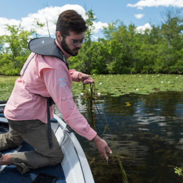
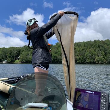
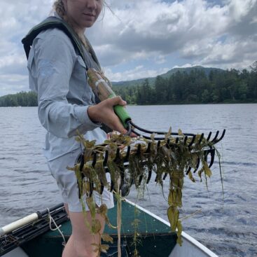
- Perform rake toss surveys at each site or sample point by throwing as many rake tosses as needed to find all plants at or near the sample point or site. This method is biased towards finding every plant species that may exist within the vicinity of a sampling location.
- Record each species along with the following parameters (water depth, overall rake plant abundance, abundance of each species)
- Additionally, photograph one example of each species identified during the survey.
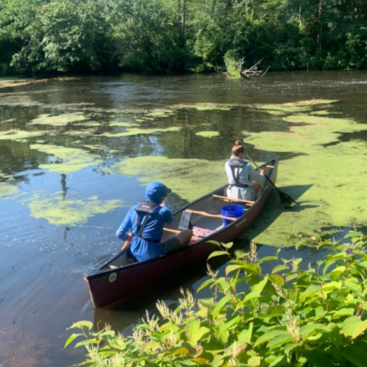
The littoral zone typically encompasses the area from shoreline to a depth of about 15 feet. We utilized publicly available bathymetric maps of the proposed treatment areas as well as the surrounding area within 0.3 miles to determine the survey extent. We then evenly distributed roughly 24 survey points outside of the proposed treatment area. We then shifted points to distribute our sampling locations across different habitat types, locations around shorelines, and to be within the water depths of the littoral zones based on maps and aerial imagery.
The team surveyed the area by navigating to each survey point, tossing the rake and by performing visual surveys where possible. All plants retrieved by rake toss or seen by visual inspection were identified to the best of our abilities (usually to the species level, but sometimes to genus).