Portfolio Description
- 0
- January 23, 2023
- Invasive Species
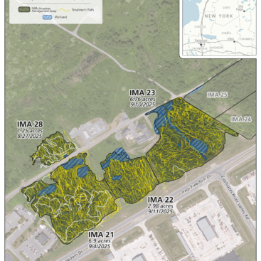
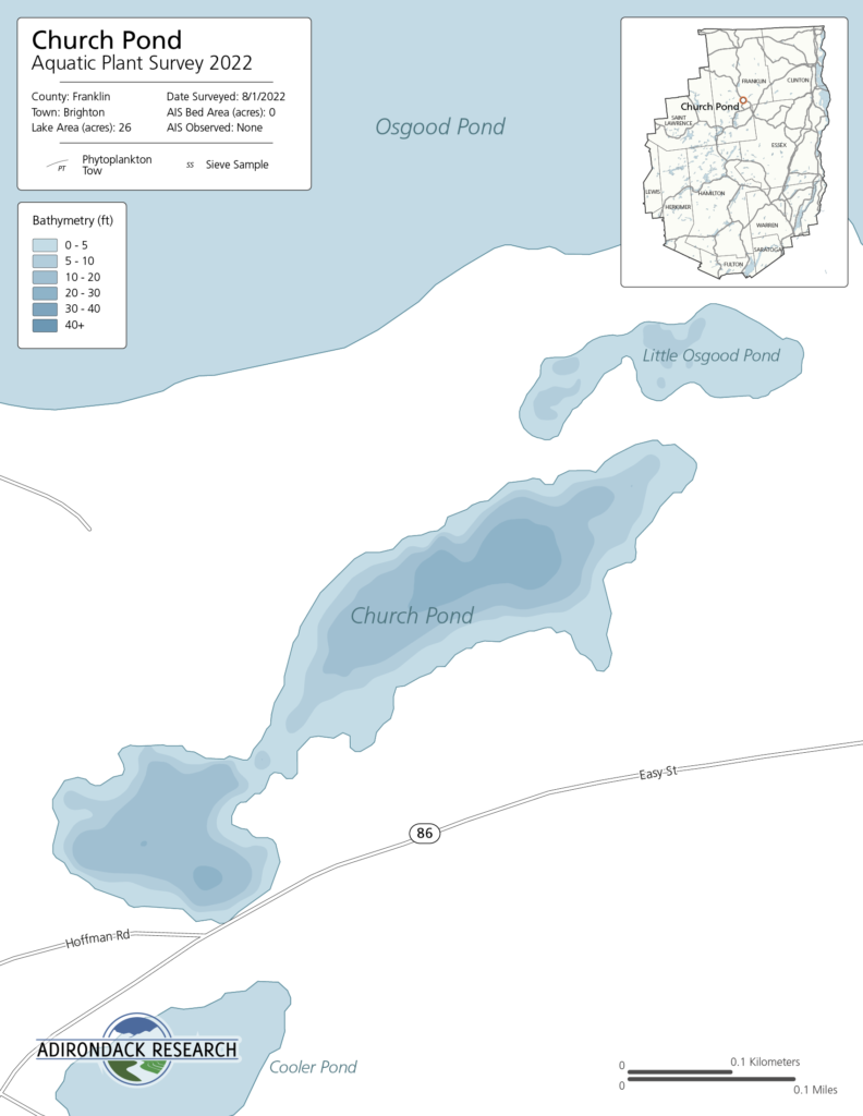
The maps included in this report has been created using publicly accessible data showing roads and lake boundary. When available, we also include publicly accessible bathymetry data from the NYS DEC. If found, invasive plant beds are also shown on the included map. Raw sonar data files from our survey can be supplied to you if requested.
The maps included in this report has been created using publicly accessible data showing roads and lake boundary. When available, we also include publicly accessible bathymetry data from the NYS DEC. If found, invasive plant beds are also shown on the included map. Raw sonar data files from our survey can be supplied to you if requested.
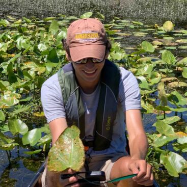
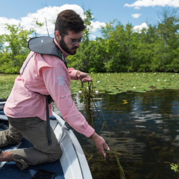
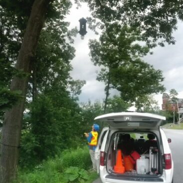
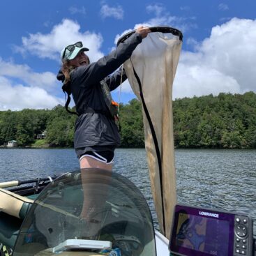
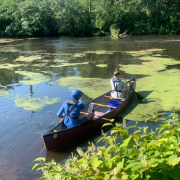
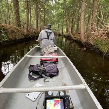
The purpose of this monitoring effort was to fully inspect and survey the areas of the lake that are most at risk to invasive species establishment. By carrying out these surveys the crews ensured that the waterbody is currently free of invasive species. Our crew also collected generalized data on native species presence on the waterbody. In the case that any invasive species was found our crew would have mapped out any and all invasive plant beds.
Results
Aquatic Invasive Plant Presence:
No invasive plants were detected.
Native Plant Biota:
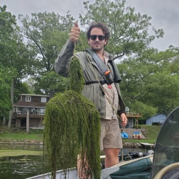
Comprehensive surveys of all native plants found within the lake were recorded. Native plants detected included: Brasenia schreberi (water shield), Nophar advena (Spatterdock), Nymphaea alba (White water-lily), Potamogeton amplifeius (large-leaf pondweed), Potamogeton natans (floating-leaf pondweed), Nymphoides cordata (little floating heart) , Utrivularia spp (bladderwort), Myriophyllum Spp (native milfoil), Najas spp (native naiad). The native milfoil was growing quite dense by the outlet to Little Osgood Pond in Osgood Pond.
Aquatic Invasive Animal Presence:
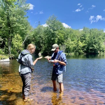
Sediment sieves were taken to determine the presence of Corbicula fluminea (Asian clams). None were found.
The maps included in this report has been created using publicly accessible data showing roads and lake boundary. When available, we also include publicly accessible bathymetry data from the NYS DEC. If found, invasive plant beds are also shown on the included map. Raw sonar data files from our survey can be supplied to you if requested.