The purpose of this monitoring effort was to fully inspect and survey the areas of Long Lake that were previously surveyed in 2016 and subsequently managed for variable leaf milfoil between the years 2017-2019.
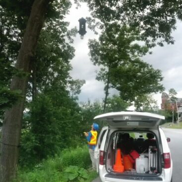
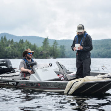
We deployed a crew of six field technicians in three motorized watercraft and one canoe to survey the entire littoral zone of Long Lake and Park Lake. Our crew also collected generalized data on native species presence on the waterbody.We found occurrence of variable leaf milfoil in several bays around Long Lake as well as in Park Lake. These occurrences correspond with beds of variable leaf milfoil documented from the 2016 survey performed by Adirondack Watershed Institute. Two new beds of variable leaf milfoil were recorded in Park Lake. In general, the cover class (plant density) of variable leaf milfoil seems to be less than when surveyed in 2016, however, due to data limitations relating to the survey design performed in 2016, we cannot directly compare bed size between the two surveys. This limitation was known a priori to performing the survey in 2022.
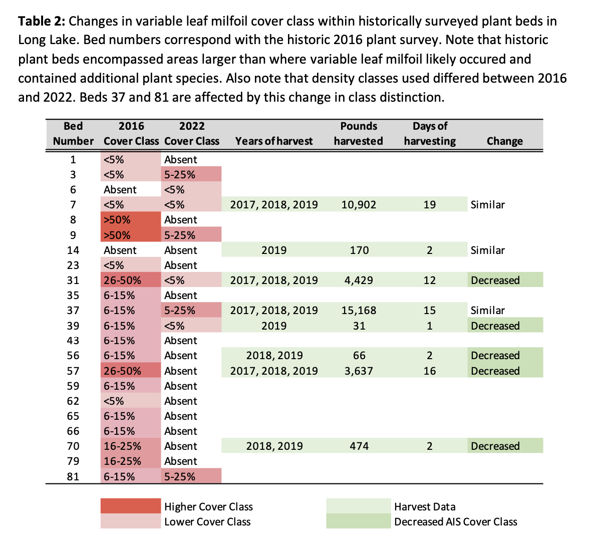
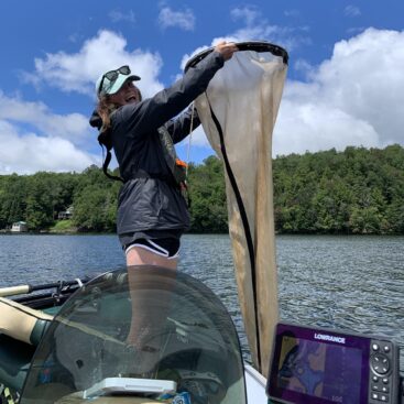
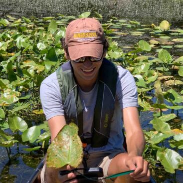
We performed an aquatic invasive species (AIS) survey on Long Lake between July 18-20, 2022. We deployed three motor boats and a canoe to complete the littoral zone survey for aquatic invasive species (AIS), including zooplankton tows, rake tosses, and top-down visual surveys. We performed a thorough top-down survey of the entire littoral zone of the lakes to delineate single plants as well as beds of any aquatic invasive species, but with a special emphasis on delineating beds of variable leaf milfoil. We have created maps that show our boat paths, the historic plant beds surveyed by Adirondack Watershed Institute in 2016 that contained variable leaf milfoil, and current delineations of variable leaf milfoil that we found this year. We kept the bed numbers the same as they were denoted in 2016 so that variable leaf milfoil plant densities within those historic beds could be compared directly to our 2022 survey. Adirondack Research was able to complete the following tasks as part of this project:
- Surveyed for AIS in the waterbody described above
- Delineated any AIS infestations (beds and single points if smaller than a bed)
- Created a basic map of the lakes surveyed in GIS, email and printable format
- Listed native species encountered (generally) within the waterbody, but not for individual beds or areas.
- Produced this abbreviated report of the described survey effort
Results
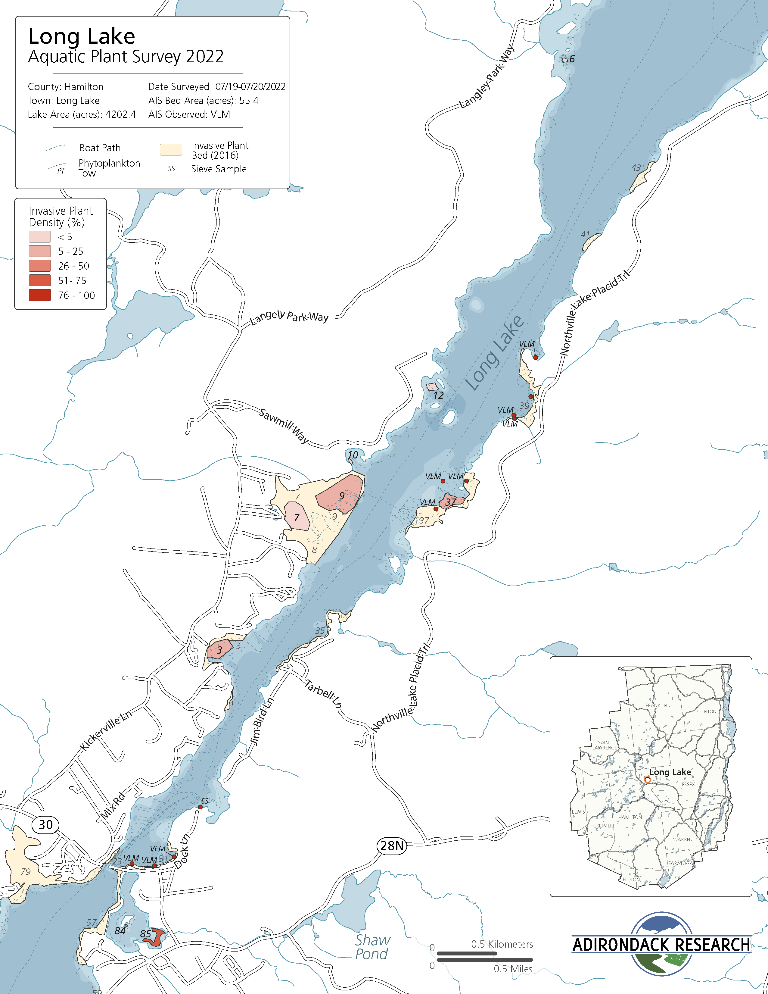
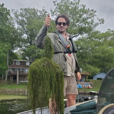
Variable leaf milfoil was the only invasive plant species found in Long Lake during our survey. We were able to delineate beds as well as individual plants of variable leaf milfoil and these bed and point data can be compared to those measured in the 2016 survey.
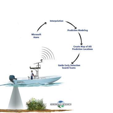
The maps included in this report have been created using publicly accessible data showing roads and lake boundary. If found, invasive plant beds are also shown on the included map. Raw sonar data files from our survey can be supplied to you if requested. The dotted line on the maps shows our survey path this year. The bathymetric data shown on the following maps were interpolated by Adirondack Research using sonar data collected during our survey of the lake.
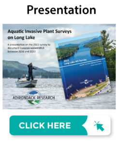
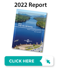
The full report can be viewed by clicking on the images below.