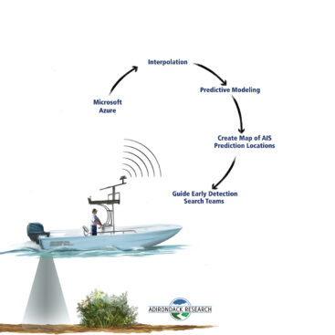
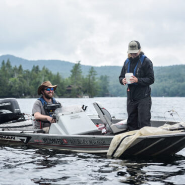
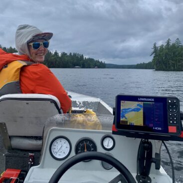
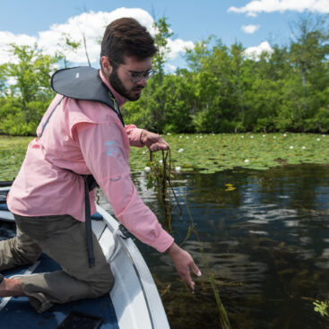
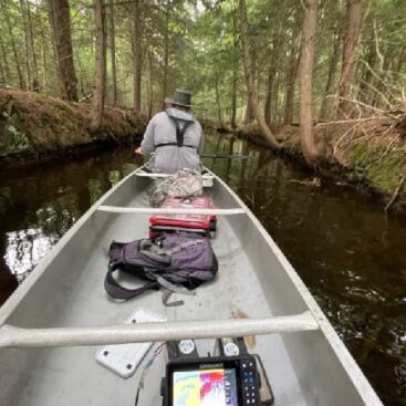
The primary objective of the AIS Early Detection Team was to detect and delineate any new or existing aquatic invasive plant or animal infestations within 42 prioritized lakes in the Adirondack Region. Additionally the team deployed Lowrance systems to map the vegetation beds, contour lines, and bottom hardness.
These parameters help us gather important baseline data on plant distribution and other physical parameters that influence aquatic species invasion. This data can be used in the future to create AIS vulnerability models. A full report can be viewed here.
Results
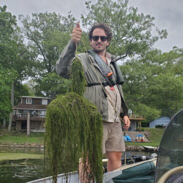
Between June 20th and August 30th 2022, 42 waterbodies (lakes and ponds) were surveyed with the objective of AIS early detection and data collection, and if discovered, management of Tier 1 and Tier 2 species. Invasive plant species were detected in 10 of these waterbodies with a total of 12 specific occurrences by species. Two unique invasive species were detected with Myriophyllum heterophyllum (Variable leaf watermilfoil) occurring most frequently at ten occurrences and Myriophyllum spicatum (Eurasian watermilfoil) was detected in two waterbodies.
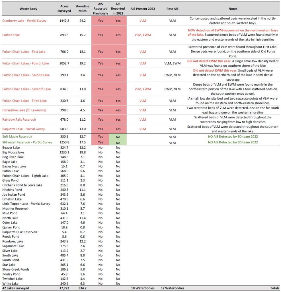
One new record of an invasive species in a previously invaded waterbody, (Eurasian watermilfoil in Forked Lake) was discovered by the 2022 Early Detection Team. Additionally, the team surveyed two lakes that had previous records of invasive species and detected none. This does not mean these lakes are AIS free, but that on the day we surveyed we did not observe any AIS. No invasive mollusk or zooplankton were detected in any of the waterbodies. Overall, the team surveyed a total of 334.22 miles of shoreline across 17,722.33 acres of water. Survey areas ranged from 5.42 acres (Raquette Lake Reservoir, Hamilton County) to 2,052.71 acres (Fourth Lake, Herkimer and Hamilton Counties).
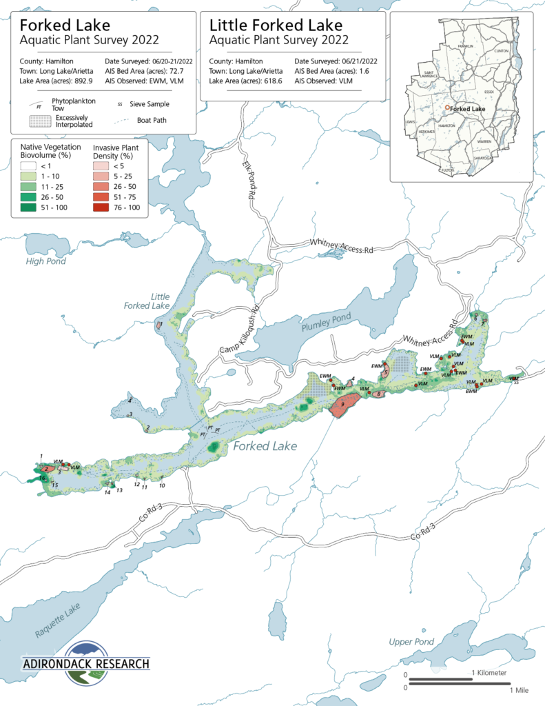
The maps included in this report have been created using publicly accessible data showing roads and lake boundary. Each lake map comprises a vegetation survey area (which document plant bed Biovolume) unless stated otherwise in the map notes section, invasive plant beds (as delineated by iMMA if found), the locations of plankton tows (PP), invasive mollusk sieve survey (SS) locations if available and the GPS path of the boat as a dashed line. Seventeen lakes and ponds also include bathymetric and bottom hardness composition maps, with two of these only displaying bathymetric and bottom hardness (no biovolume).
Acknowledgments
Adirondack Park Invasive Plant Program (APIPP), a program hosted by the Adirondack Chapter of The Nature Conservancy, is one of eight Partnerships for Invasive Species Management (PRISMs) in New York State whose mission is to protect the Adirondack region from the negative impacts of invasive species. APIPP contracted Adirondack Research during the 2022 field season to conduct AIS early detection surveys in the western portion of the Adirondack PRISM. Field work, data collection and the compilation of the narrative, maps and materials included in this report were conducted by Evan Spencer, Masen Sharpe, Beth Fisher, Kevin Dernier, Mia Walton, Meghan Bargabos, Carrie Griffo, Ingrid Miller and Dr. Ezra Schwartzberg, who constituted APIPP’s Adirondack AIS Early Detection Team. Maps were produced in house by Adirondack Research. Project planning and lake prioritization was conducted by Brian Greene, APIPP’s AIS Project Coordinator. This project was advanced by APIPP, under contract with Adirondack Research, with funding provided by New York State’s Environmental Protection Fund as administered by the New York State Department of Environmental Conservation.


