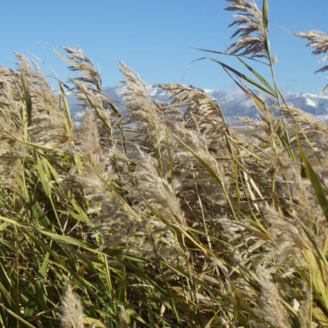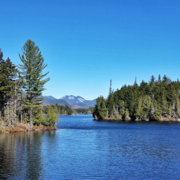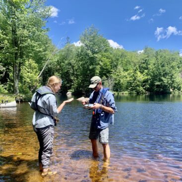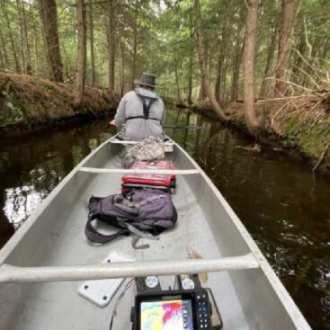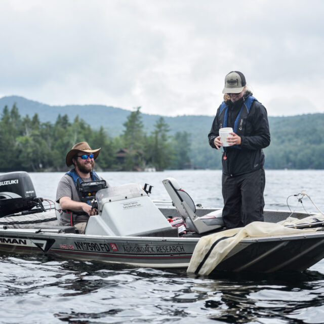
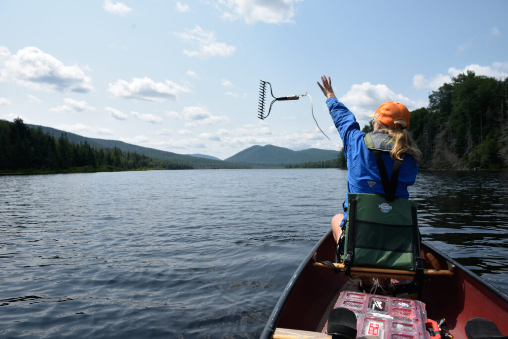
We perform aquatic invasive species (AIS) early detection surveys for approximately 15-20 lakes each season across New York State and the Adirondacks. Lakes range in size from 50 acres to 3,000 acres. We deploy a team of 2-8 field technicians with up to four motorized or unmotorized survey watercraft to document submergent native and invasive aquatic plants. Our services range from early detection for lakes where no known invasive species have been documented to performing follow-up surveys of known invasive plant populations.
Our strength is in our ability to deploy large teams of trained field staff on short notice. Below are images, maps, and examples of reports we have produced for lake associations.
Results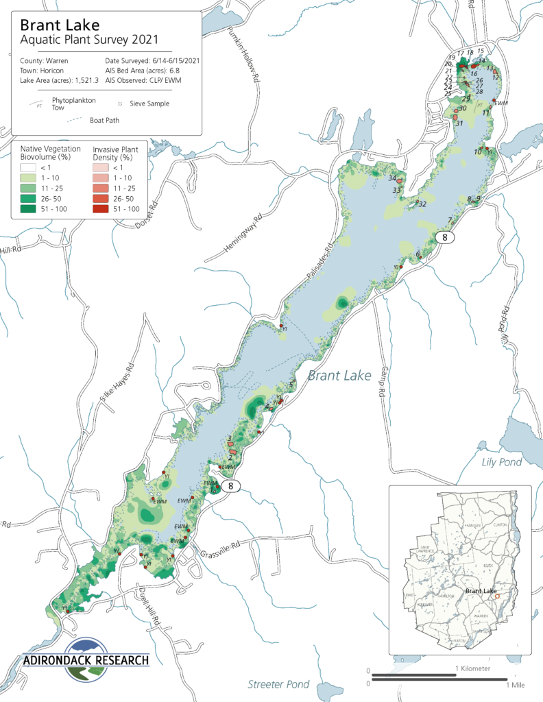
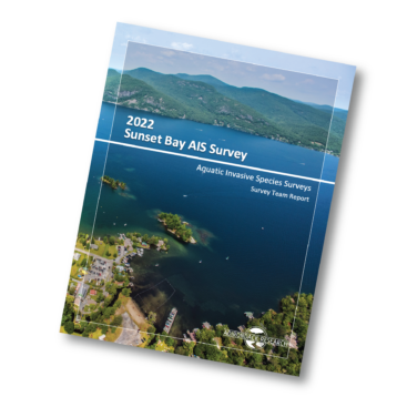
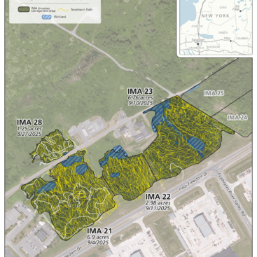
We create report maps for each of our surveys. These are in addition to the GIS data that we can use for analyses or for submission to the state’s invasive speciesdatabase at our clients’ requests. Our maps contain data that are collected from our survey team and includes such attributes as water depth, our survey path, plant bed locations and plant density, zooplankton and mollusk sieve locations, and restricted or inaccessible areas on the waterbodies. We have also worked with lake associations like Rainbow Lake, Schroon Lake, and Cranberry Lake to create custom cartographic and Green Goat Map branded products.
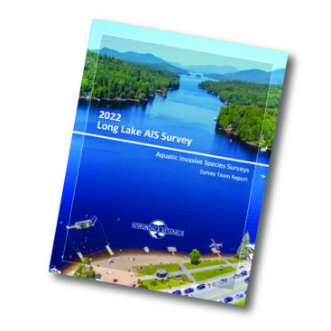
Some of our reports can be viewed below. Report scope depends on the project objectives. We performa wide range of surveys. These include early detection surveys, pre- and post-harvest or chemical treatment surveys, point intercept monitoring surveys, and biodiversity surveys. You can learn more about more complex surveys from some of our other portfolio projects, including our Mohawk River surveys, our Peconic River Pre- and Post-ProcellaCOR EC survey, and our APA ProcellaCOR EC Permitting surveys.
![]()