For the summer field seasons of 2018 – 2022, we have been contracted by the Nature Conservancy’s Adirondack Park Invasive Plant Program to survey lakes throughout the Adirondack PRISM.
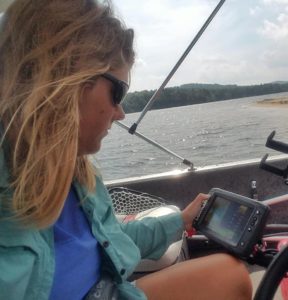
We used data collected during these surveys to produce individualized lake maps of aquatic invasive species (AIS) distribution. Objectives for this project were twofold. The first being to detect and delineate any new or existing invasive plant or animal infestations within prioritized lakes. The secondary objective was to implement the Lowrance ELITE-7Ti and BioBase by C-MAP system to map the vegetation beds, contour lines and bottom substrate hardness of a select set of those lakes as a way to gather important data on plant distribution and other physical parameters that influence aquatic plant invasion. Data collected during these surveys will be used in the future to create AIS vulnerability models.
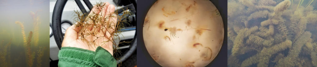
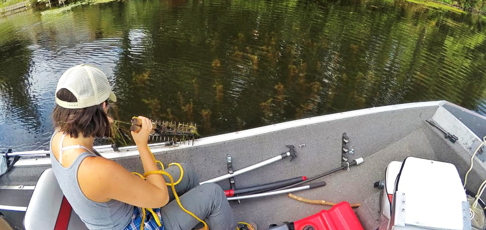
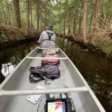
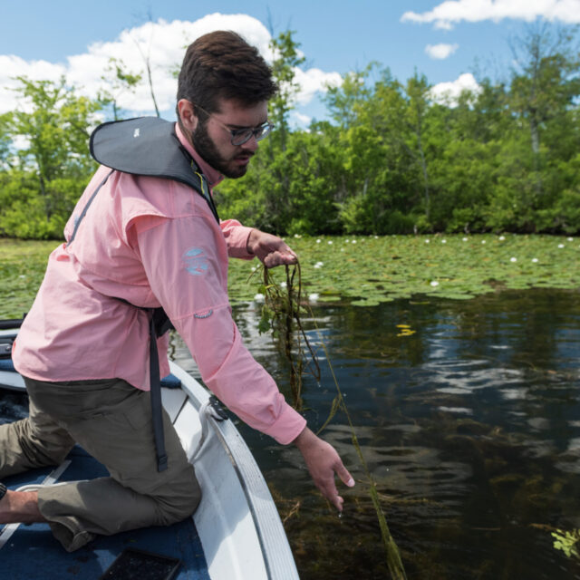
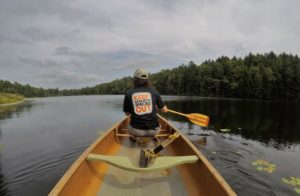
The littoral zone of each lake was surveyed for aquatic plants. This comprised water from shoreline to a depth of about 15 feet, although the water depth and distance from shore varied between lakes; some littoral zones encompassed the entire lake. Surveys were done in a zig-zag pattern, searching for aquatic plant beds using visual detection from the surface in combination with the visual sonar output from the Lowrance unit. Once a plant bed was located, a rake toss would be done to confirm identification or to retrieve and identify plants that could not be identified by visual detection alone. For aquatic invasive animal detection, sediment sieves were used to search for invasive mollusks. Plankton tows were done on each lake to search for invasive planktonic crustaceans, such as the spiny waterflea.
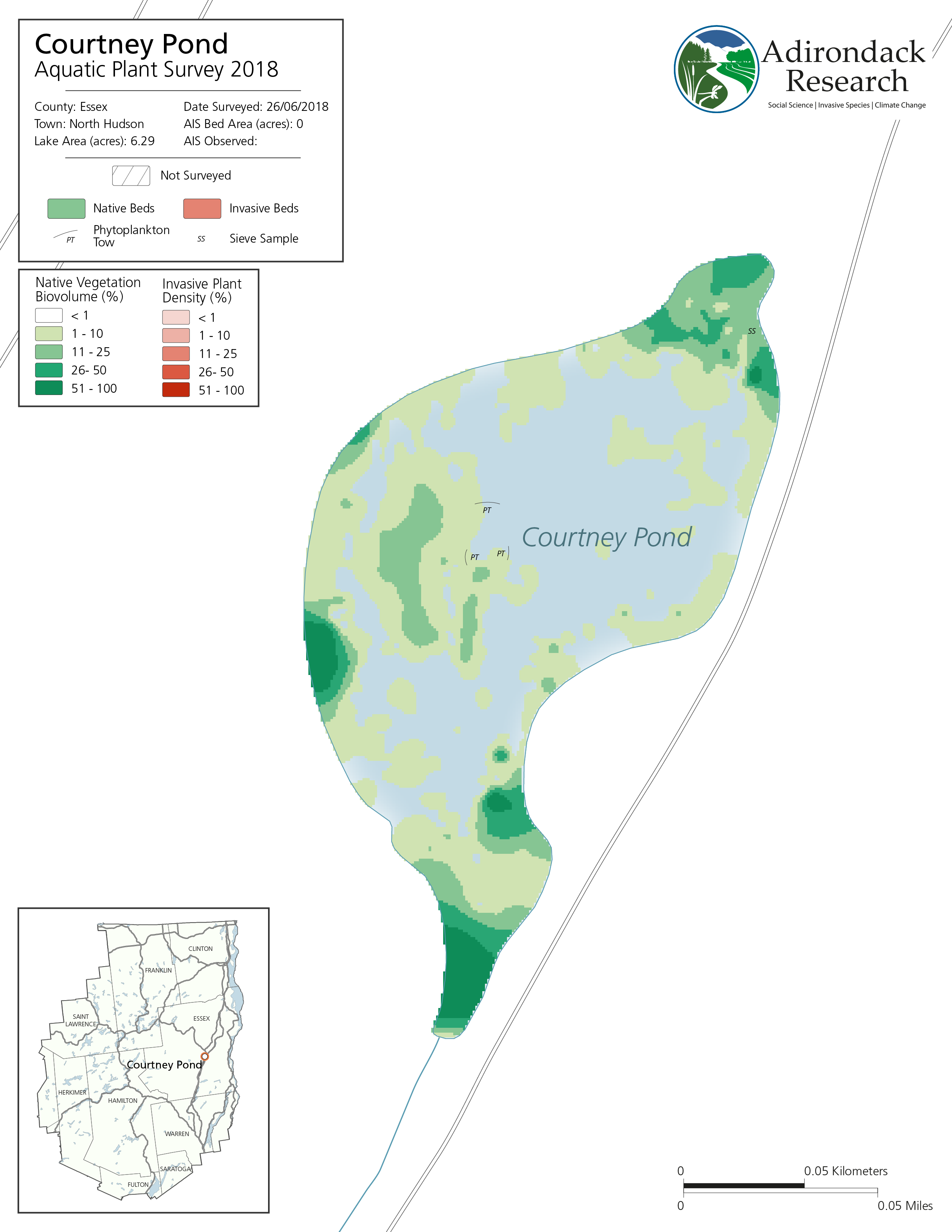
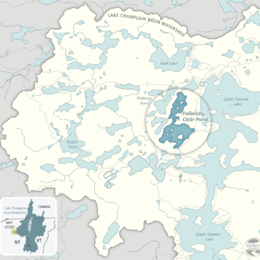
Maps were produced in house by Adirondack Research and maps of all lakes and ponds surveyed in 2018 and 2019 can be found in our final reports. Using data collected in the field and then post-processed in GIS, we were able to create detailed maps that will be used to further enhance AIS management capabilities in the Adirondacks. The map pictured left (click to enlarge) shows Courtney Pond in Essex County. 2018 was the first year this pond was surveyed and no AIS were detected.
Mapping invasive plant beds using GPS and ArcGIS, combined with the data captured from C-MAP by BioBase, allows us to assess exactly where an AIS infestation is located within a larger bed of native plants. This information will be incredibly useful overtime to monitor AIS beds and their spread into native beds.
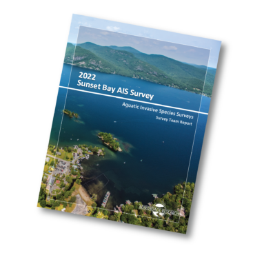
Our reports are complete with maps of all lakes or ponds surveyed. In addition to maps, the reports contains detailed information on our methods and how we incorporated the use of new technology into protocols. Click the report cover (right) or here to access our final 2018 report in its entirety. This page will be updated as additional reports become available. Past Early Detection Surveys are available on the Adirondack Park Invasive Plant Program’s website under the Flagship Reports tab.