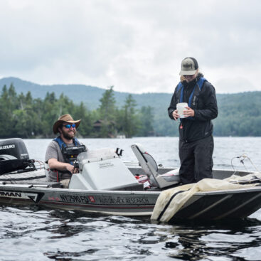
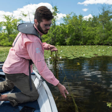
Early Detection Surveys for Lake AssociationsEzra Schwartzberg2026-10-12T12:48:10+00:00 Early Detection Surveys for Lake Associations GIS Mapping, Invasive Species, Lake Associations and Land Trusts
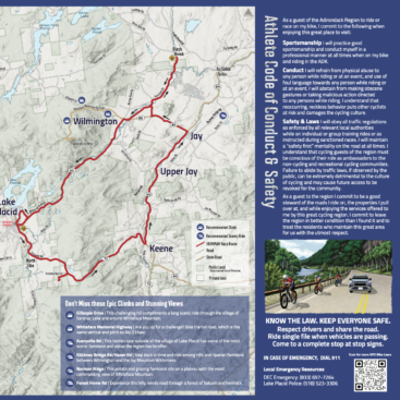
Ironman Athlete Map and Conduct GuideEzra Schwartzberg2026-10-12T12:48:22+00:00 Ironman Athlete Map and Conduct Guide Cartography, GIS Mapping, Highlighted, Socioeconomics, State & Local Government
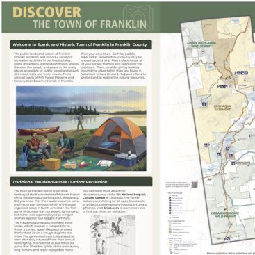
Town of Franklin SignageEzra Schwartzberg2026-10-12T12:48:34+00:00 Town of Franklin Signage Cartography, Environmental Education, GIS Mapping, State & Local Government
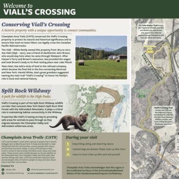
Viall’s Crossing SignageEzra Schwartzberg2024-04-10T16:14:04+00:00 Viall’s Crossing Signage Cartography, Environmental Education, GIS Mapping
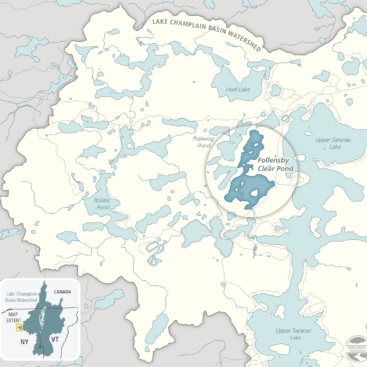
Upper Saranac Foundation Grant Application and Report MapsEzra Schwartzberg2026-10-12T12:49:23+00:00 Upper Saranac Foundation Grant Application and Report Maps Cartography, GIS Mapping, Lake Associations and Land Trusts
Surveying Adirondack Lakes for Invasive SpeciesEzra Schwartzberg2026-10-12T12:49:31+00:00 Surveying Adirondack Lakes for Invasive Species GIS Mapping, Invasive Species, State & Local Government
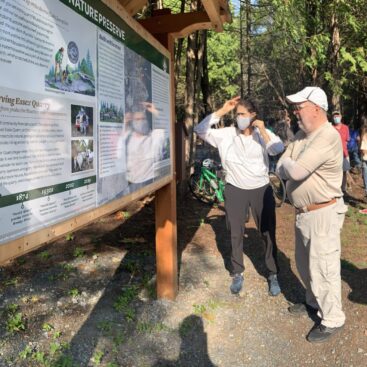
Essex Quarry Nature Preserve SignageEzra Schwartzberg2026-10-12T12:49:46+00:00 Essex Quarry Nature Preserve Signage Cartography, Environmental Education, Lake Associations and Land Trusts
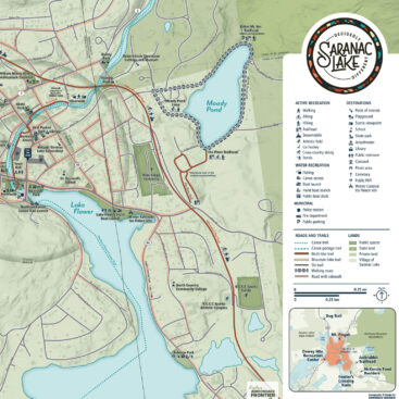
Wayfinding Maps for Saranac LakeEzra Schwartzberg2026-10-12T12:49:53+00:00 Wayfinding Maps for Saranac Lake Cartography, State & Local Government
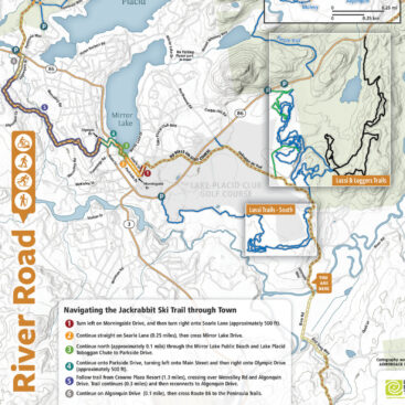
Trailhead Kiosks on Jackrabbit Ski TrailEzra Schwartzberg2026-10-12T12:50:00+00:00 Trailhead Kiosks on Jackrabbit Ski Trail Cartography, Highlighted, Lake Associations and Land Trusts
Researching Disease Vectors to Slow the Spread of Hemlock Woolly AdelgidEzra Schwartzberg2026-10-12T12:50:30+00:00 Researching Disease Vectors to Slow the Spread of Hemlock Woolly Adelgid Federal Agencies