




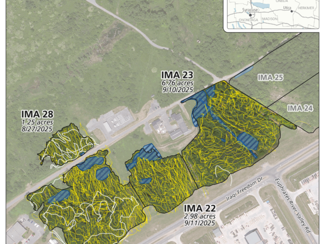
Fort Drum – Invasive & Undesirable Understory Vegetation Treatment
Foliar spray and cut-stump herbicide application methods used to implement an understory invasive species management program at Fort Drum, New York.
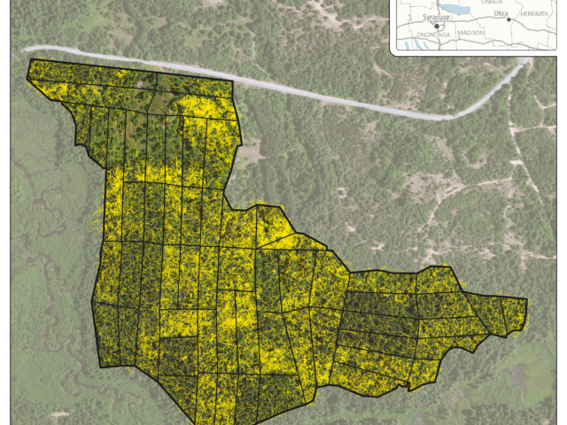
Fort Drum – American Beech Control
Vegetation management of American beech, using hack-and-squirt, across 119 acres of forested land at Fort Drum, New York.
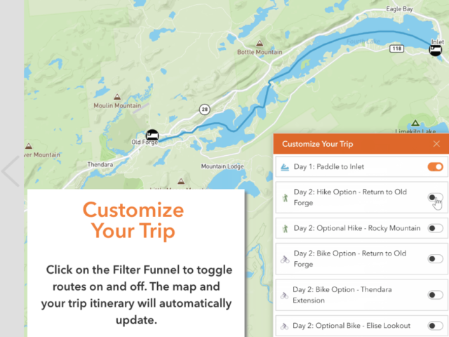
Hamlets to Huts Website Maps
We worked with Hamlets to Huts to design several multi-day outdoor trips. These interactive maps feature daily itineraries and direct instructions so travelers can safely navigate the Adirondack backcountry waterways. Fulton Chain Circuit - Paddle and Bike: Blue Mountain Lake Paddle Traverse: Raquette Lake Loop:
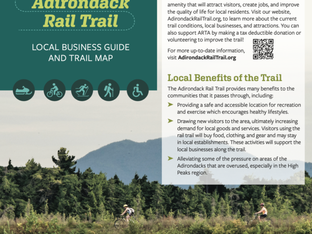
Adirondack Rail Trail Map and Brochure
We created a map and tri-fold brochure for the Adirondack Rail Trail Association (ARTA) to update people on the current status of the rail-trail project now that it is partially usable. ARTA needed a brochure and map to show where the trail is, when it will be completed, and what businesses are in the community to support trail users....
ProcellaCOR Permit Aquatic Pant Survey on Lake George
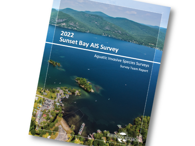
We performed an aquatic invasive species (AIS) and native aquatic plant species survey for Sunset Bay on Lake George. This survey was completed in preparation for Lake George Park Commission applying to the Adirondack Park Agency for a permit to use the herbicide ProcellaCOR EC. This survey was completed in accordance with all of the required parameters of the linked...

Follow-Up AIS Survey for Long Lake
The purpose of this monitoring effort was to fully inspect and survey the areas of Long Lake that were previously surveyed in 2016 and subsequently managed for variable leaf milfoil between the years 2017-2019. We deployed a crew of six field technicians in three motorized watercraft and one canoe to survey the entire littoral zone of Long Lake and Park...