







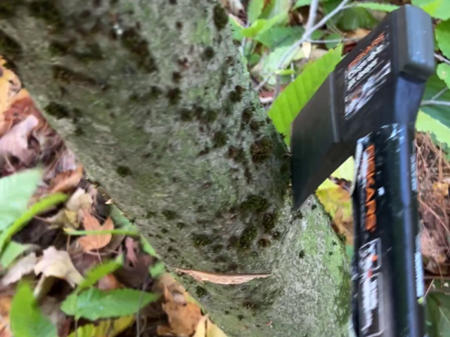
Fort Drum — Invasive & Undesirable Vegetation Management
Hack-and-squirt and foliar spray herbicide treatment of American beech and common buckthorn at Fort Drum, New York.
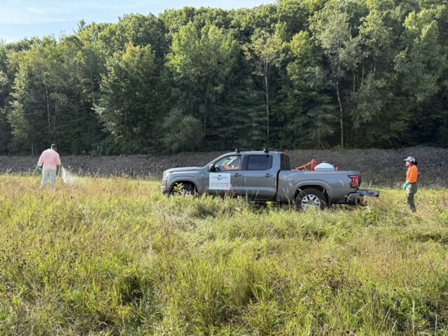
Hopkinton and Everett Lakes — Chemical Vegetation Control Services
Chemical vegetation control of invasive, noxious and woody vegetation at 16 sites in New Hampshire for the U.S. Army Corps of Engineers.
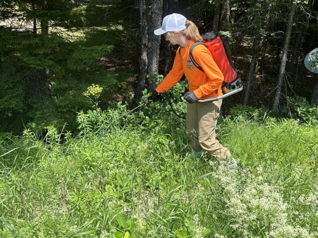
Franklin Falls Dam — Invasive Species & Chemical Vegetation Control
Chemical vegetation control of invasive and undesirable vegetation for the U.S. Army Corps of Engineers at Franklin Falls Dam, New Hampshire.
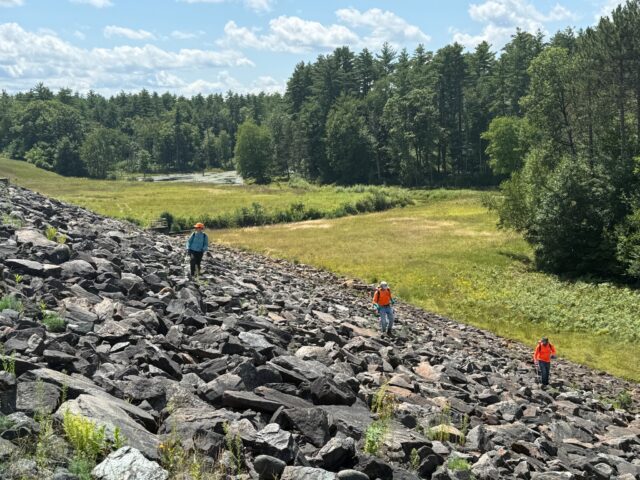
Birch Hill Dam – Invasive Species & Chemical Vegetation Control
Chemical vegetation control at Birch Hill Dam for U.S. Army Corps of Engineers, in Massachusetts. The project had multiple permitting needs.
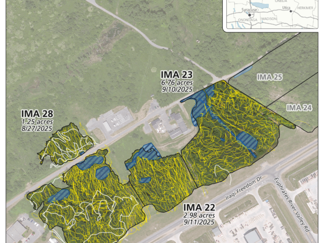
Fort Drum – Invasive & Undesirable Understory Vegetation Treatment
Foliar spray and cut-stump herbicide application methods used to implement an understory invasive species management program at Fort Drum, New York.
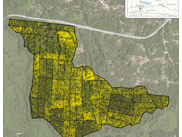
Fort Drum – American Beech Control
Vegetation management of American beech, using hack-and-squirt, across 119 acres of forested land at Fort Drum, New York.