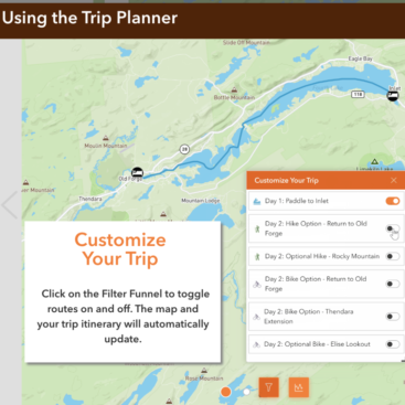
Hamlets to Huts Website MapsAlexa Dean-Banks2024-04-10T18:54:43+00:00 Hamlets to Huts Website Maps Cartography, GIS Mapping
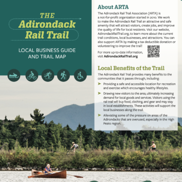
Adirondack Rail Trail Map and BrochureEzra Schwartzberg2024-04-10T15:49:38+00:00 Adirondack Rail Trail Map and Brochure Cartography, GIS Mapping
ProcellaCOR Permit Aquatic Pant Survey on Lake GeorgeEzra Schwartzberg2024-04-10T15:56:04+00:00 ProcellaCOR Permit Aquatic Pant Survey on Lake George GIS Mapping, Invasive Species
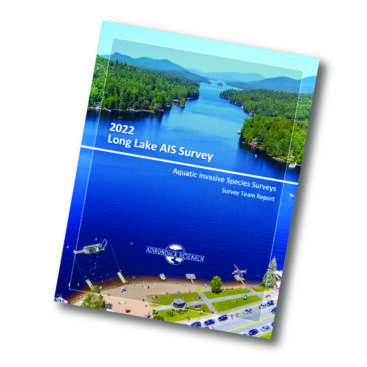
Follow-Up AIS Survey for Long LakeEzra Schwartzberg2024-04-10T16:02:12+00:00 Follow-Up AIS Survey for Long Lake GIS Mapping, Invasive Species
Early Detection Surveys for Lake AssociationsEzra Schwartzberg2024-04-10T16:05:13+00:00 Early Detection Surveys for Lake Associations GIS Mapping, Invasive Species
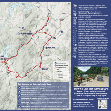
Ironman Athlete Map and Conduct GuideEzra Schwartzberg2024-04-10T16:07:37+00:00 Ironman Athlete Map and Conduct Guide Cartography, GIS Mapping, Highlighted, Socioeconomics
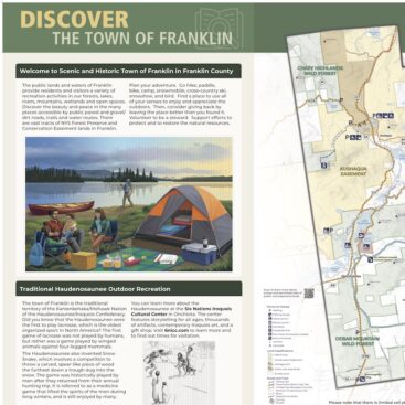
Town of Franklin SignageEzra Schwartzberg2024-04-10T16:09:37+00:00 Town of Franklin Signage Cartography, Environmental Education, GIS Mapping
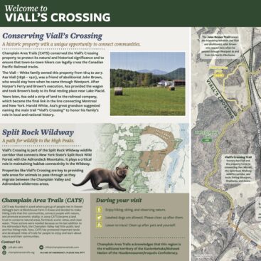
Viall’s Crossing SignageEzra Schwartzberg2024-04-10T16:14:04+00:00 Viall’s Crossing Signage Cartography, Environmental Education, GIS Mapping
Upper Saranac Foundation Grant Application and Report MapsEzra Schwartzberg2024-04-10T16:16:15+00:00 Upper Saranac Foundation Grant Application and Report Maps Cartography, GIS Mapping
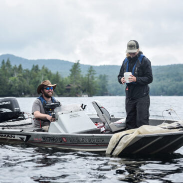
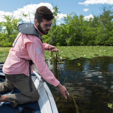
Surveying Adirondack Lakes for Invasive SpeciesEzra Schwartzberg2024-04-10T16:23:52+00:00 Surveying Adirondack Lakes for Invasive Species GIS Mapping, Invasive Species