
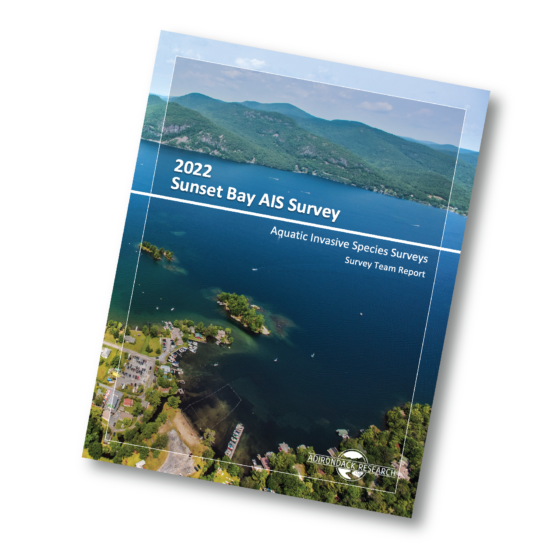
ProcellaCOR Permit Aquatic Pant Survey on Lake George
We performed an aquatic invasive species (AIS) and native aquatic plant species survey for Sunset Bay on Lake George. This survey was completed in preparation for Lake George Park Commission applying to the Adirondack Park Agency for a permit to use the herbicide ProcellaCOR EC. This survey was completed in accordance with all of the required parameters of the linked application requirements: https://www.dropbox.com/s/kn7c043b53k7wns/SIR-AquaticHerbicides.pdf?dl=0 Lake...
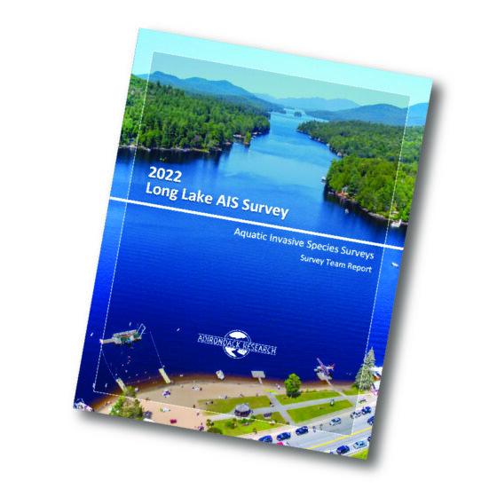
Follow-Up AIS Survey for Long Lake
The purpose of this monitoring effort was to fully inspect and survey the areas of Long Lake that were previously surveyed in 2016 and subsequently managed for variable leaf milfoil between the years 2017-2019. We deployed a crew of six field technicians in three motorized watercraft and one canoe to survey the entire littoral zone of Long Lake and Park Lake. Our crew also...
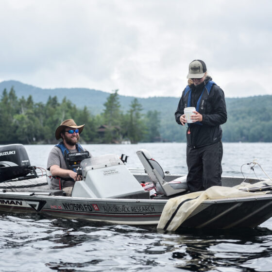
Early Detection Surveys for Lake Associations
We perform aquatic invasive species (AIS) early detection surveys for approximately 15-20 lakes each season across New York State and the Adirondacks. Lakes range in size from 50 acres to 3,000 acres. We deploy a team of 2-8 field technicians with up to four motorized or unmotorized survey watercraft to document submergent native and invasive aquatic plants. Our services range from early detection...
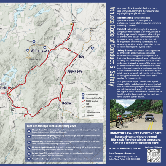
Ironman Athlete Map and Conduct Guide
We were contracted by IRONMAN to create an Athlete Conduct Map and Guide for the 2022 IRONMAN. IRONMAN’s goal for this project is to help athletes discover and explore a variety of communities along the cycling route and to educate them on safe practices on the roads. This is part of an effort to respond to the concerns about the IRONMAN from the...